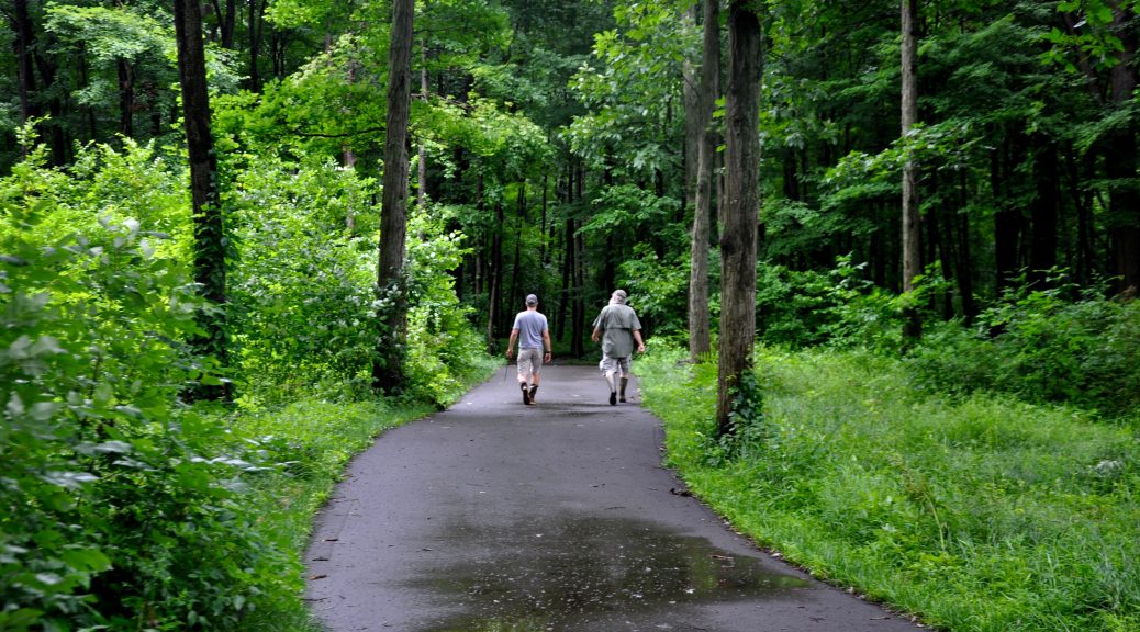
Last week, AMRE students, Kendra Devereux and Alexis Lanier, ventured out to Barnes Preserve in Wooster and The Wilderness Center located in Wilmot, Ohio.
The team collected cores from white and red oak trees at both locations to update their chronologies and analyze land use history of these areas.
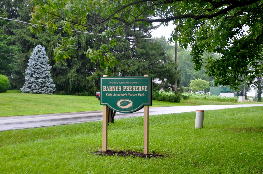
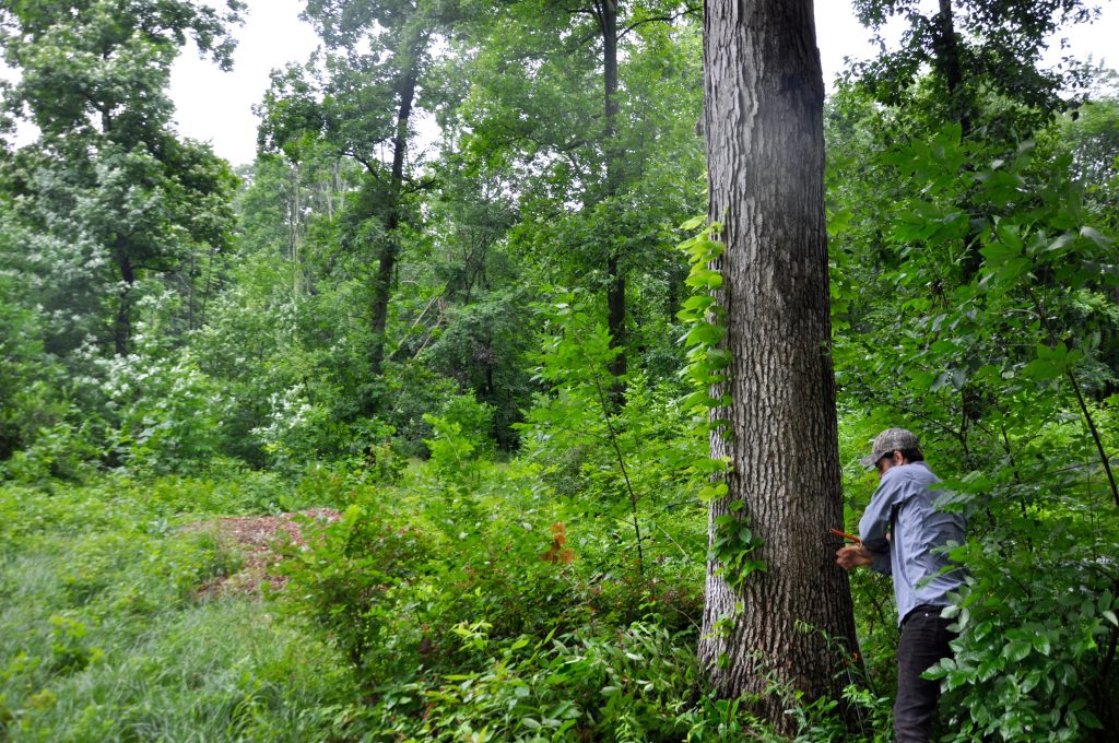
Barnes Preserve is a 76-acre park known for its rejuvenating atmosphere, diverse wildlife, and accessible trails. The team focused on collecting samples from mature trees in order to create a new local chronology. The Tree Ring Lab hopes to return to Barnes Preserve and build upon this record in the future.
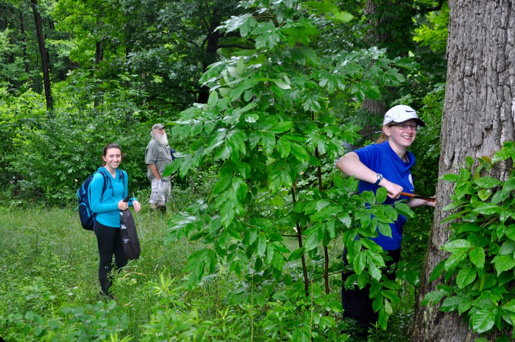
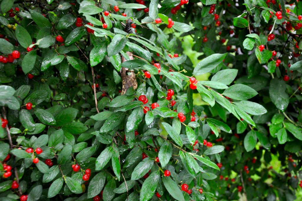
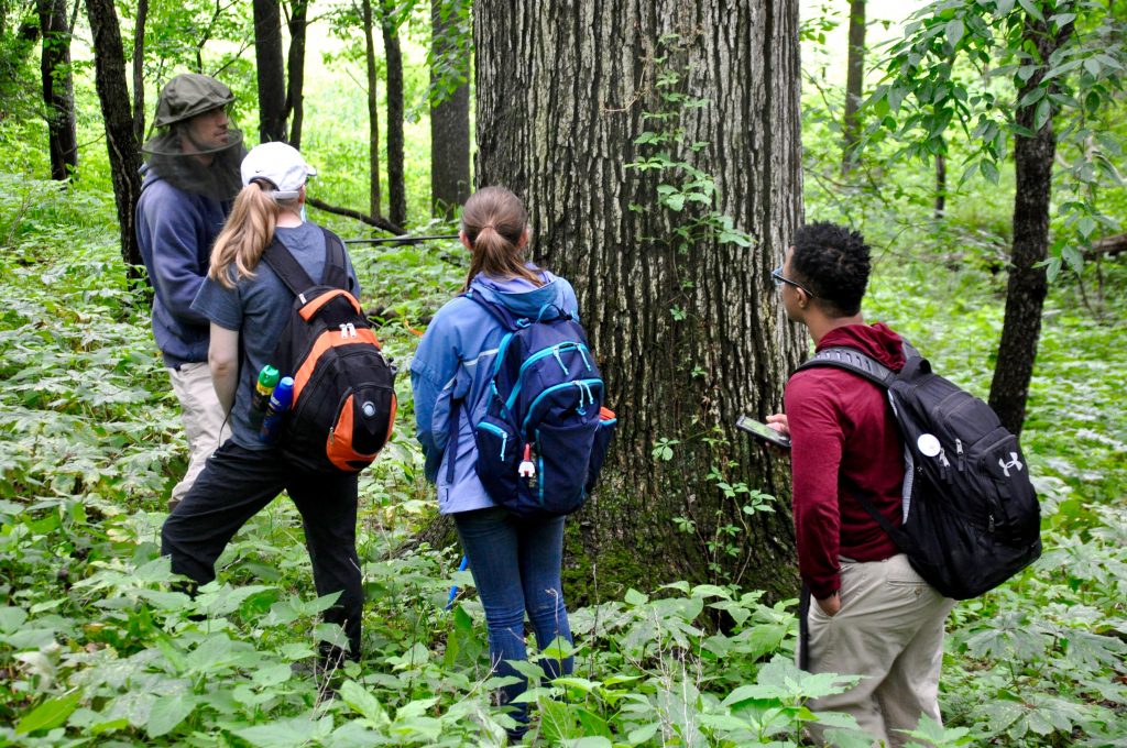
AMRE students Kendra Devereux (left) and Alexis Lanier (right) coring an oak at Barnes Preserve.Nick Wiesenberg coring a nearby tree.A honeysuckle bush along the trail.The team coring a fallen oak deep in the brush at Barnes Preserve.
The Wilderness Center has an old growth forest named Sigrist Woods that the team was interested in sampling. From these cores they hoped to learn more about a recent storm that damaged and felled many trees in the area. They plan to look more closely at the cores to see if ring widths were affected by this event by either storm damage or loss of competition.
Preliminary results are showing that the trees from Sigrist are dating back to the late 1800’s. Stay tuned for more of their results!
Special thanks for Denny Jordan and Herb Broda for helping facilitate this research.
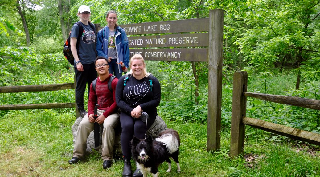
Brown’s Lake Bog, located near Shreve in Wayne County, Ohio, is a nature preserve and National Natural Landmark that was established in the 1960’s. College of Wooster students have been involved in several past projects at Browns Lake Bog including sediment coring and ice drilling. Last week, the 2018 AMRE students ventured to this local spot to collect tree cores from some red and white oaks in order to perform some climate analysis for the Nature Conservancy and the Friends of Brown’s Lake Bog.
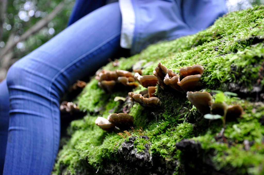
Brown’s Lake Bog is one of a few remaining peatland sites across Ohio that contains an open kettle lake surrounded by a floating sphagnum moss mat. These features are glacial relicts and the knolls surrounding the bog are glacially-formed hills called kames.
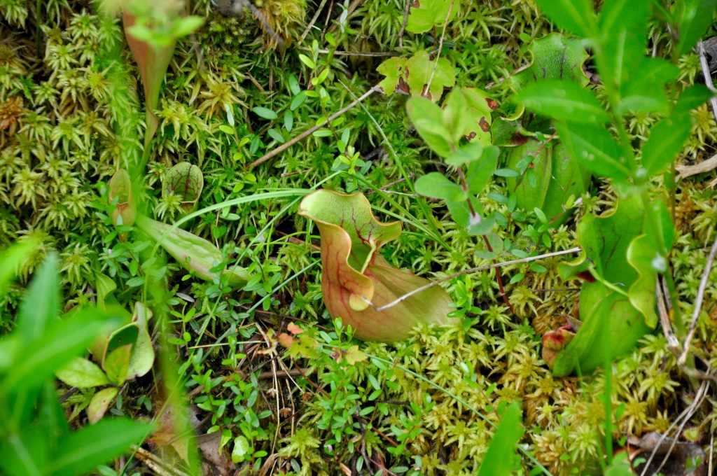
This field site is known for its diverse and rare plant community which thrives in the bog’s special acidic and nutrient-poor environment. More than twenty rare plant species can be found here. The carnivorous Northern Pitcher Plant (Sarracenia purpurea) is one of the rare species that attracts bog visitors.
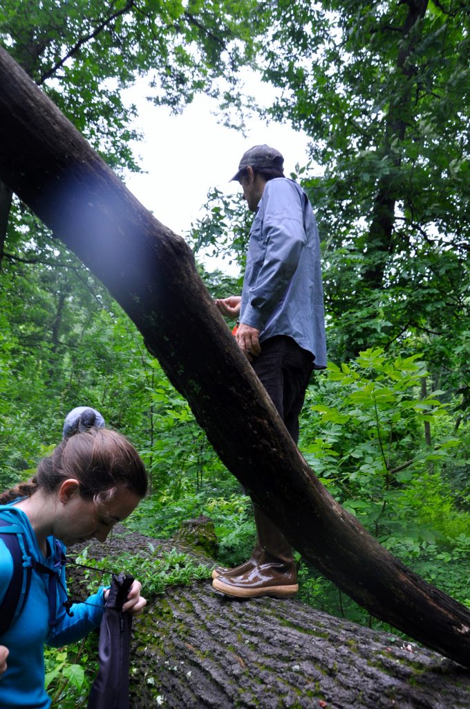
After checking out the kettle lake, the tree ring lab group hiked the short trail to reach the trees sitting on top of the kames. The AMRE students sampled 6 of the oldest white and red oak trees.
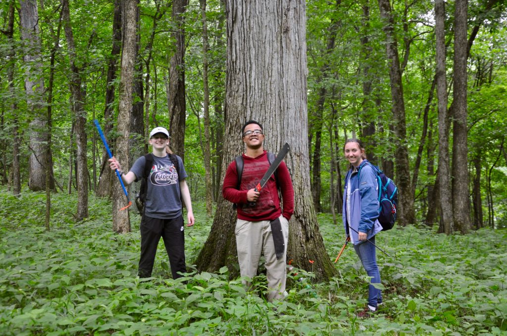
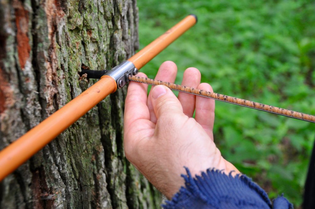
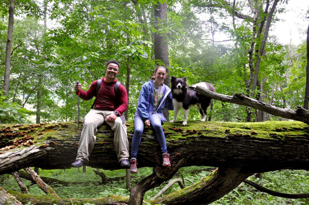
AMRE students with a sampled tree (Left to right: Alexis Lanier ’20, Juwan Shabazz ’19, and Kendra Devereux ’21)The carnivorous Northern Pitcher Plant (Sarracenia purpurea) receives nutrients by trapping insects in its fluid-filled cavities.The AMRE students getting coring tips from Nick.Extracting a fresh oak core on top of the kame at Brown’s Lake Bog.Juwan, Kendra, and Arrow sitting on a fallen oak.
Upon returning to the lab, the group mounted up the fresh cores and prepared them for counting and measuring ring widths. This week, Kendra and Alexis are working to update the local chronology and perform various correlations with the data. The final product will be an official climate analysis report.
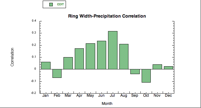
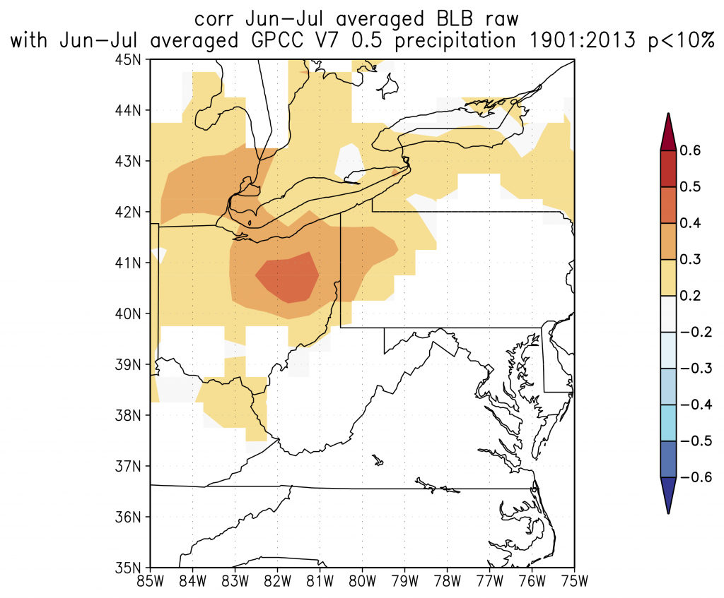
The map below displays a positive correlation between ring width and precipitation during the months of June and July in the local Wooster area. These months displayed the highest p values and correlations (as shown in the bar graph), which is why these months were selected while creating the map using Climate Explorer. A positive correlation suggests that the more it rained, the better the trees grew (this is expressed in wider ring widths).
Stay tuned for more of their results!
Correlation between ring width at Brown’s Lake Bog and precipitation records.
One of Kendra’s initial correlation maps created with Climate Explorer.
Learning about environmental change from tree rings
Weblog authors are solely responsible for the content and accuracy of their weblogs, including opinions they express, and the College of Wooster disclaims any and all liability for that content, its accuracy, and opinions it may contain. Content is made available under the Creative Commons Attribution-Share Alike 3.0 United States License unless specified otherwise. Privacy Statement